|
|
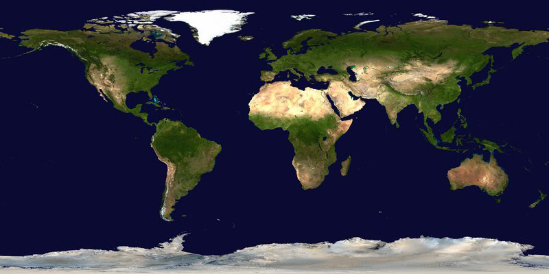 |
| Quelle: http://commons.wikimedia.org/wiki/Image:Whole_world_-_land_and_oceans.jpg Satellite composition of the whole Earth's surface. The image is from Blue Marble: Land Surface, Shallow Water, and Shaded Topography, specifically land_shallow_topo_east.tif and land_shallow_topo_west.tif. These two images placed side-by-side are 43200x21600. The version here was scaled down to fit within the current 8 megabyte upload limit. http://en.wikipedia.org/wiki/Public_domain |
|
|
Kategorie: ![]() Alle
Alle ![]() Länder der Erde
Länder der Erde
Weltkarte - Satellitenaufnahmen |